


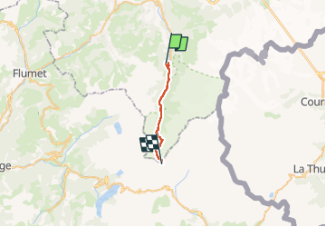
TMB 02 - Les Contamines -> Col de la Croix du Bonhomme

uru2010
User


7h46
Difficulty : Medium

FREE GPS app for hiking
 SityTrail
IGN / Geographical institutes
SityTrail Plus
The world is yours!
About
Trail Walking of 16.3 km to be discovered at Auvergne-Rhône-Alpes, Upper Savoy, Les Contamines-Montjoie. This trail is proposed by uru2010.
Description
Départ : hôtel La Gélinotte, 91 chemin de La Revenaz, Les Contamines-Montjoie. Tél 04 50 47 01 61.
Arrivée : Refuge de la Croix du Bonhomme. Tél 04 79 07 05 28.
Via Nant-Bornan (1h45), l'ancienne Voie romaine, le col du Bonhomme (3h15), la Croix du Bonhomme (50 mn).
Randonnée faite le 23/6/2021.
Durée suivant le guide : 6h30. Ma durée réelle : 7h45.
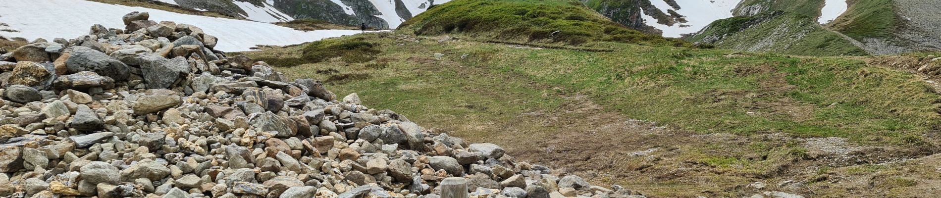
Photos


Positioning
Comments